Powers Hill is a modest rise just southeast of town that acted like a “hinge” in the Union’s rear-area network during the Battle of Gettysburg—a place where roads, communications, artillery, ambulances, and command posts converged. Named for Solomon Powers, the mason who quarried stone from it, the hill in July 1863 was far more open than it feels today, with commanding sightlines toward the Union right at Culp’s Hill and the low ground around Spangler’s Spring/Meadow—ground so exposed to Union guns that period accounts and modern park interpretation memorialize it as “artillery hell.” Its modern story is largely a preservation-and-visibility story: land acquisition, removal of non-historic intrusions and vegetation, and improving access (including trail planning) while protecting an important landscape.

Where Powers Hill Sits and Why Its Shape Matters
If you stand on Powers Hill and mentally “strip away” the later tree growth, the place starts to read like 1863 again: open on multiple sides, centrally placed on the Baltimore Pike approach, and high enough to see a sweep of key terrain. A National Park Service seminar paper (drawing on wartime accounts and period imagery) emphasizes that in July 1863 the hill’s eastern, northern, and western sides were open—and that this openness helped make it a visibility and communications point, including a signal station and long-lived headquarters location.
Geologically, Powers Hill sits within the Gettysburg area’s distinctive “hard rock” story. An environmental assessment for the park’s fire management planning notes forest types associated with mineral-rich soils weathered from diabase, listing Powers Hill alongside Little Round Top and Culp’s Hill as places where those diabase-related soils and related plant communities occur. That matters historically because “harder” hills and ridges tend to produce steeper, rockier ground—terrain that shapes where artillery can be sited, where wagons can move, and which slopes offer or deny cover.

Power Hill and the Town Relationshp
One reason Powers Hill keeps showing up in operational narratives is that it is close enough to Gettysburg to be “rear of the line,” but far enough to function as a staging and logistics zone. A wartime description quoted in the NPS seminar paper has the detached brigade taking position “on the immediate left of the turnpike, about 2 miles from Gettysburg,” a distance framing Powers Hill as a near-town but not-in-town position.
Roads are the second half of that relationship. Modern park communication around volunteer workdays locates Powers Hill access/parking along Granite School House Lane, just west of Baltimore Pike—an exact, visitor-relevant description that also echoes why the spot mattered in 1863: it is literally tied into the Baltimore Pike corridor. The same NPS seminar paper argues Powers Hill became an “artillery park” and also an “ambulance park” (and, more broadly, a logistical center) precisely because commanders wanted a protected, central, road-connected node for vehicles, ammunition, and medical evacuation.
Sightlines are the third leg. The NPS seminar paper (previously linked) highlights that period artists and observers treated the hill (and adjacent rises) as vantage points that could visually connect much of the Union position—naming a series of heights and hills visible from the area and noting that a slightly different crest position could even bring Cemetery Ridge and the Round Tops into view. In short: Powers Hill is close enough to town to matter for movement and supply, but high and open enough (in 1863) to matter for command-and-control.
What Powers Hill Did During the Battle
Powers Hill’s battle role is best understood as three overlapping functions: early-arrival reserve ground, communications/headquarters ground, and a gun platform influencing the right-flank fight around Spangler’s Spring and lower Culp’s Hill.
On July 1, the Union Twelfth Corps approached via the Baltimore Pike corridor. The NPS seminar paper, quoting John W. Geary, describes a brigade detached “to take position in reserve” on the left of the turnpike about two miles from town, resting there overnight—explicitly identifying that position as Powers Hill and stressing how often it is mistaken for other hills by modern readers who can’t easily picture the hill’s 1863 openness. That same paper ties the position to reserve artillery and ordnance/ambulance arrangements—precisely the kinds of “behind the fighting line, but not far behind” functions you’d expect at a terrain-and-road node.
By July 2 and July 3, the artillery story comes into sharp focus. An NPS newsletter describing landscape rehabilitation around Spangler’s Spring explains that the goal was to reopen fields that exposed Confederate troops to heavy fire from 28 Union guns—18 concentrated “on and around Powers’ Hill alone”—during a seven-hour engagement on July 3 that began before dawn. The same newsletter explicitly ties battlefield vegetation change to interpretive loss: the view from west of Spangler’s Spring had grown obscured, making it harder to understand why the Confederate attack stalled and withdrew under intense fire.
A complementary preservation/interpretive account from American Battlefield Trust notes that Union artillery from Powers Hill delivered devastating fire into Confederates attacking lower Culp’s Hill and Spangler’s Spring on July 3, and that Confederates under that fire labeled the area “Artillery Hell.” Another later Trust piece about restoration on the east approach to the battlefield describes 14 cannons on Powers Hill by the afternoon of July 2 and connects that gun concentration to covering Spangler’s Spring and Spangler’s Meadow on July 3.
Command presence reinforces why this was more than “just another artillery knoll.” The NPS seminar paper states that Powers Hill hosted Slocum’s headquarters and a signal station through much of the battle, and that George G. Meade observed part of the July 3 cannonade from its summit—behavior consistent with the hill’s communications utility and broad sightlines. It also notes additional headquarters use (including by George Sykes on July 2), underscoring the “command node” character of the place.
Finally, the medical/logistics layer: a compiled campaign volume for New Jersey troops records that the Twelfth Corps field hospital was first located “in the rear of Power’s Hill,” but was shelled out on the afternoon of July 2 and then moved. That one sentence is a reminder that Powers Hill sat in a zone close enough to be threatened by artillery—yet still chosen initially for medical staging because it was near the army’s right-sector fighting and the Baltimore Pike corridor.
After the Battle: Land Use, Ownership, Memorials, and Today
The post-battle story of Powers Hill is, in many ways, the story of visibility and stewardship.
First came memorialization. Powers Hill became part of a commemorative landscape dense with monuments and interpretive markers, especially for units tied to the artillery presence there. A Gettysburg Foundation publication explicitly associates “(Solomon) Powers Hill” with Pennsylvania Battery E Light Artillery and New York Battery M Light Artillery. Gettysburg National Military Park museum finding aids also preserve the paper trail of photographs and map materials labeled to Power’s Hill—such as views of “Slocum’s Headquarters on Power’s Hill” and photographs keyed to Winegar’s Battery M on the hill.
Second came landscape change. Trees grew up after the battle and obscured an open view that once helped explain the fight—prompting modern “vista” clearing as part of battlefield rehabilitation. That’s not cosmetic: it is an interpretive decision to recover the military logic of open ground under artillery fire.
Third came modern land protection and removal of non-historic intrusions. The American Battlefield Trust recounts a 2011 effort (then under the Civil War Trust name) to help protect five acres at Powers Hill and ties that preserved land directly to the July 3 artillery impact on the Confederate attack near Spangler’s Spring. A later Trust restoration report discusses removing the structures of the former Mulligan McDuffers mini-golf property near the eastern entrance corridor and restoring the ground to a battlefield-appropriate landscape, again anchoring the work to the Union right-flank gun story connected to Powers Hill.
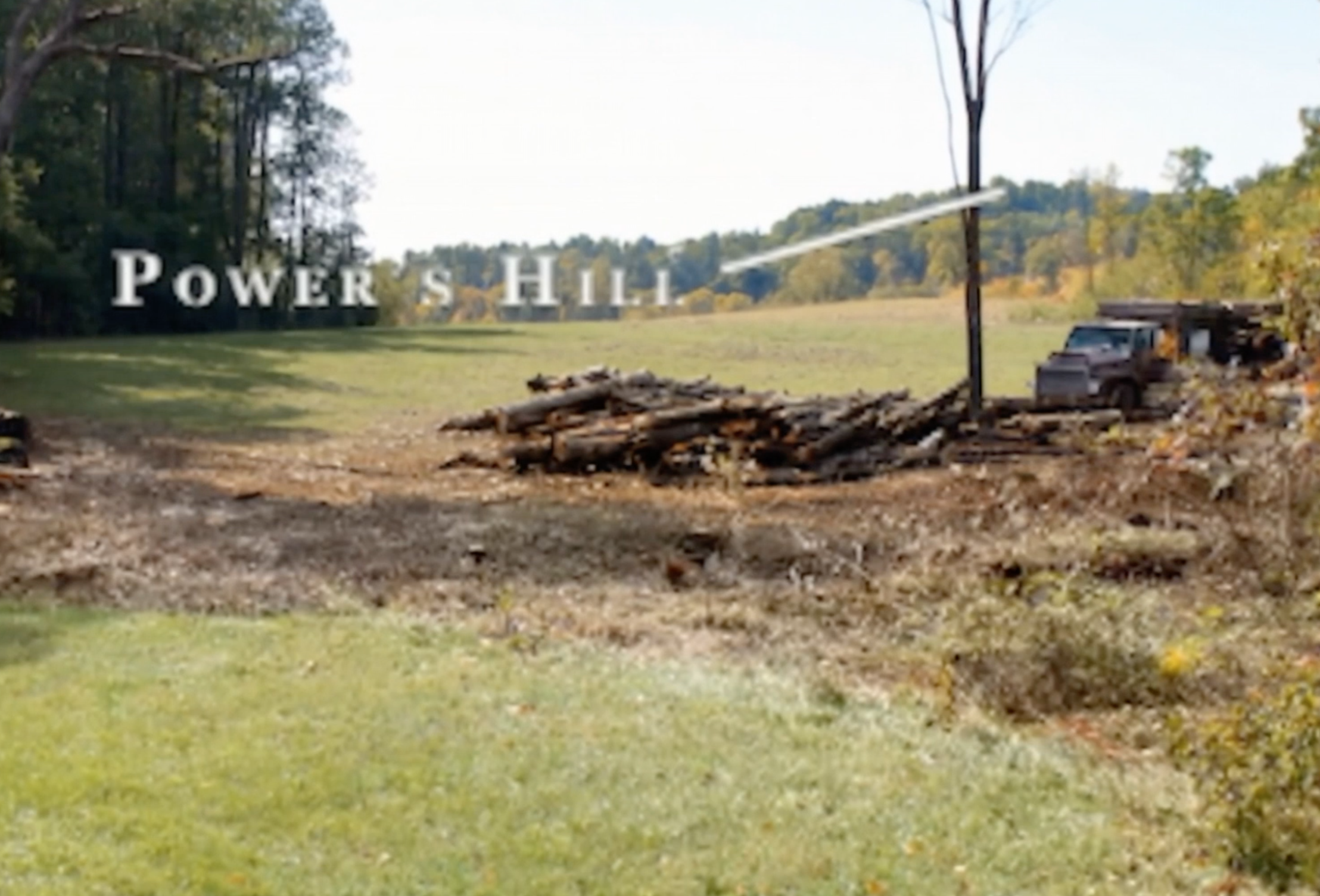
Finally, today’s access status is unusually clear for such a historically sensitive place: the NPS has publicly organized volunteer projects specifically to keep the hill’s landscape open, with parking directions tied to Granite School House Lane just west of Baltimore Pike. Partnership planning also points toward enhanced access through a proposed interpretive trail connection from the park’s Museum and Visitor Center area toward Powers Hill and the George Spangler Farm.
Leave a Reply